|
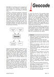
GeocodeTM is an easy-to-use, stand-alone application for converting raw waveform data collected by ELMAP laserscanners to geocoded (georeferenced, projected) 3D point clouds, optimized for throughput and geometrical accuracy to rapidly get the most out of your data. A perpetual multi-seat license of Geocode is included with every ELMAP and ELMAP-V instrument.
Datasheet:

|

